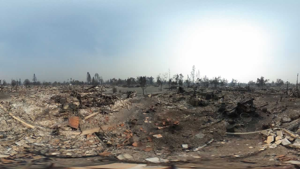
360 PHOTOS: Devastation caused by wildfires in Sonoma, Napa


SONOMA, Calif. (KGO) -- In neighborhood after neighborhood in the North Bay, all that remains are the smoldering ashes and eye-stinging smoke from a day of utter devastation caused by massive wildfires moving through the area.
Check out the 360 photos from Sonoma and Napa below. Click and drag each image to move around. If you're accessing via our app, tap here to see the images in a web browser.
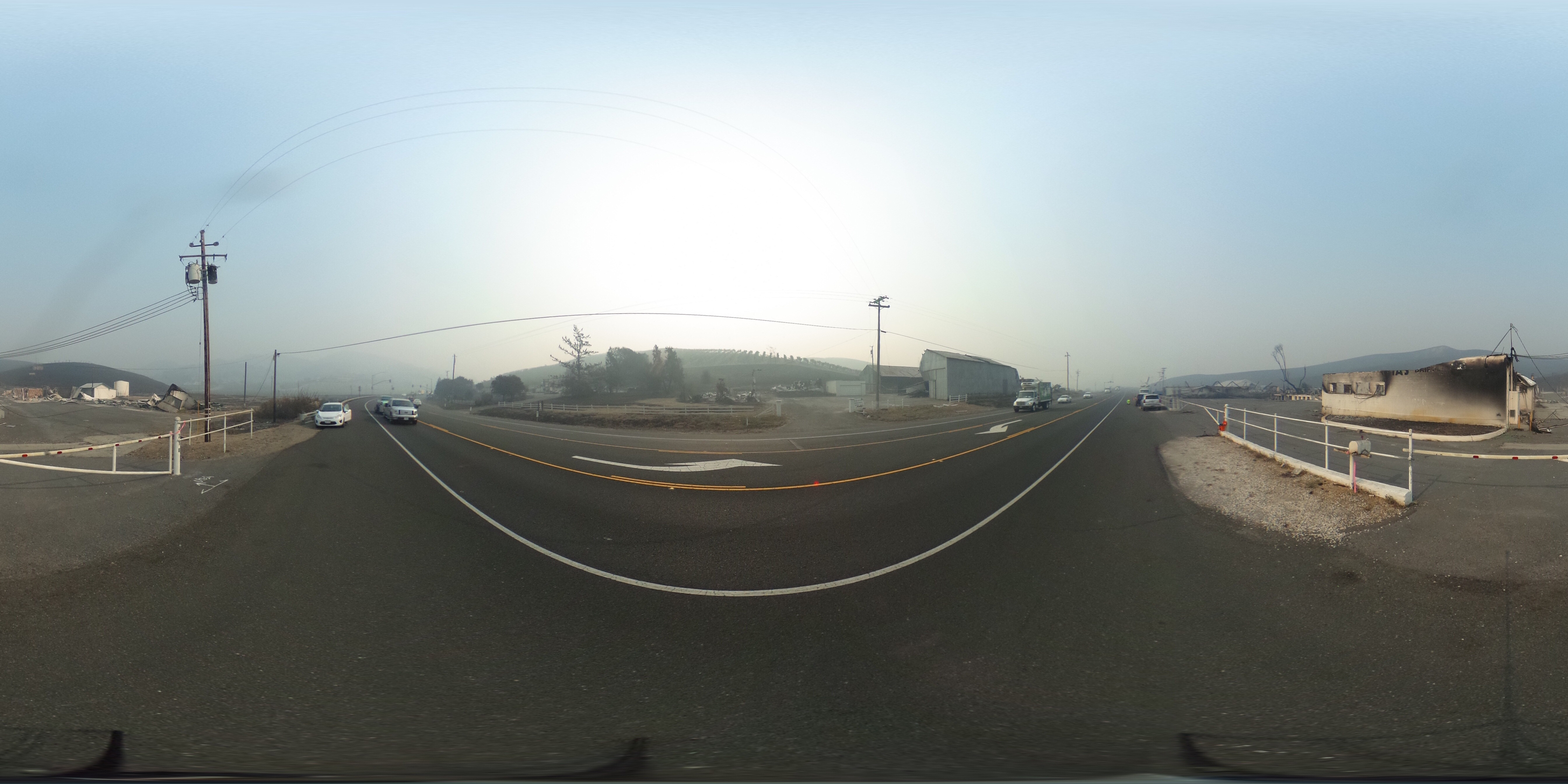
Stornetta Dairy, 4310 Fremont Dr., Sonoma
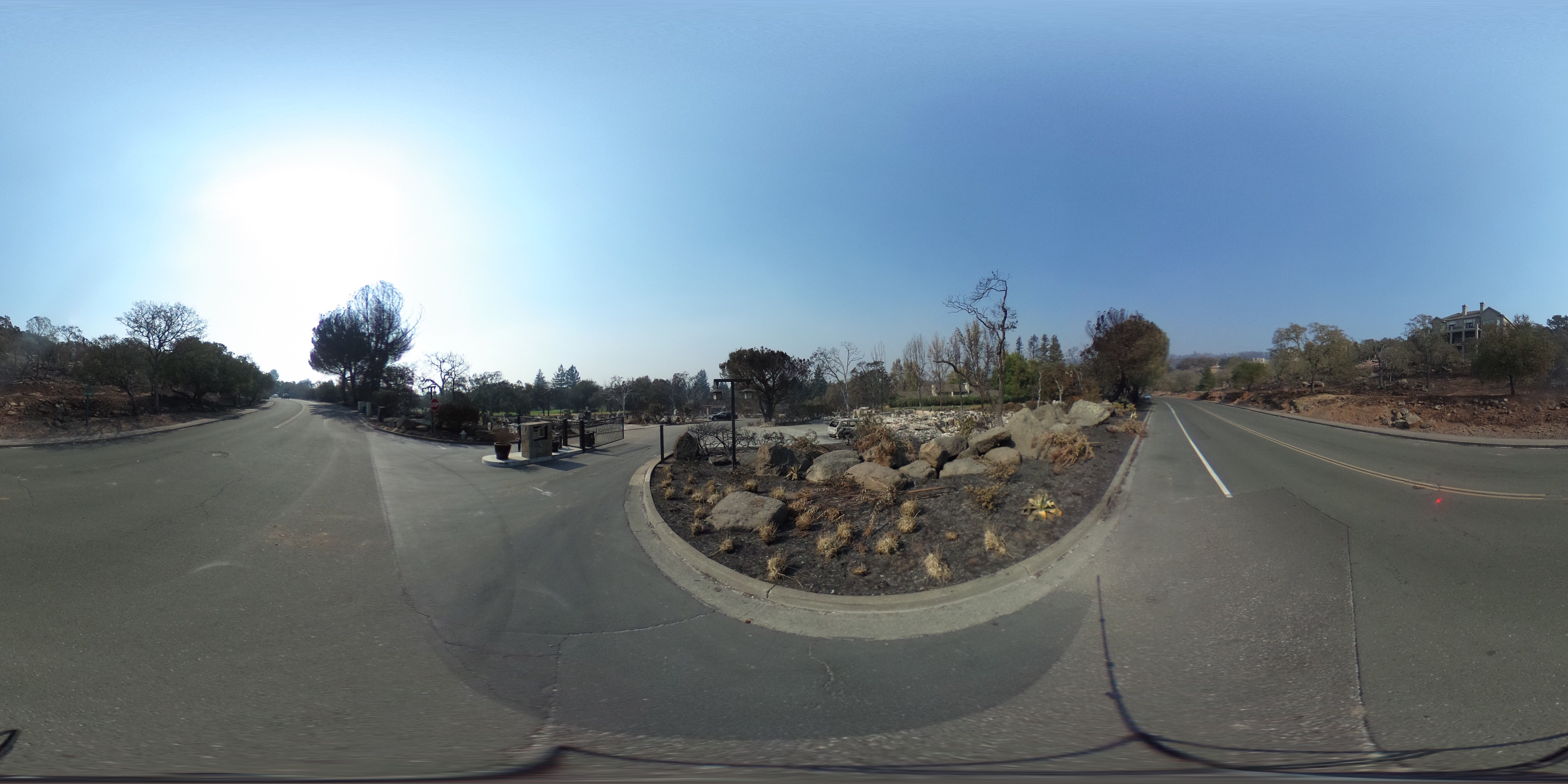
11 Tamarack Dr., Napa -- Silverado Oaks
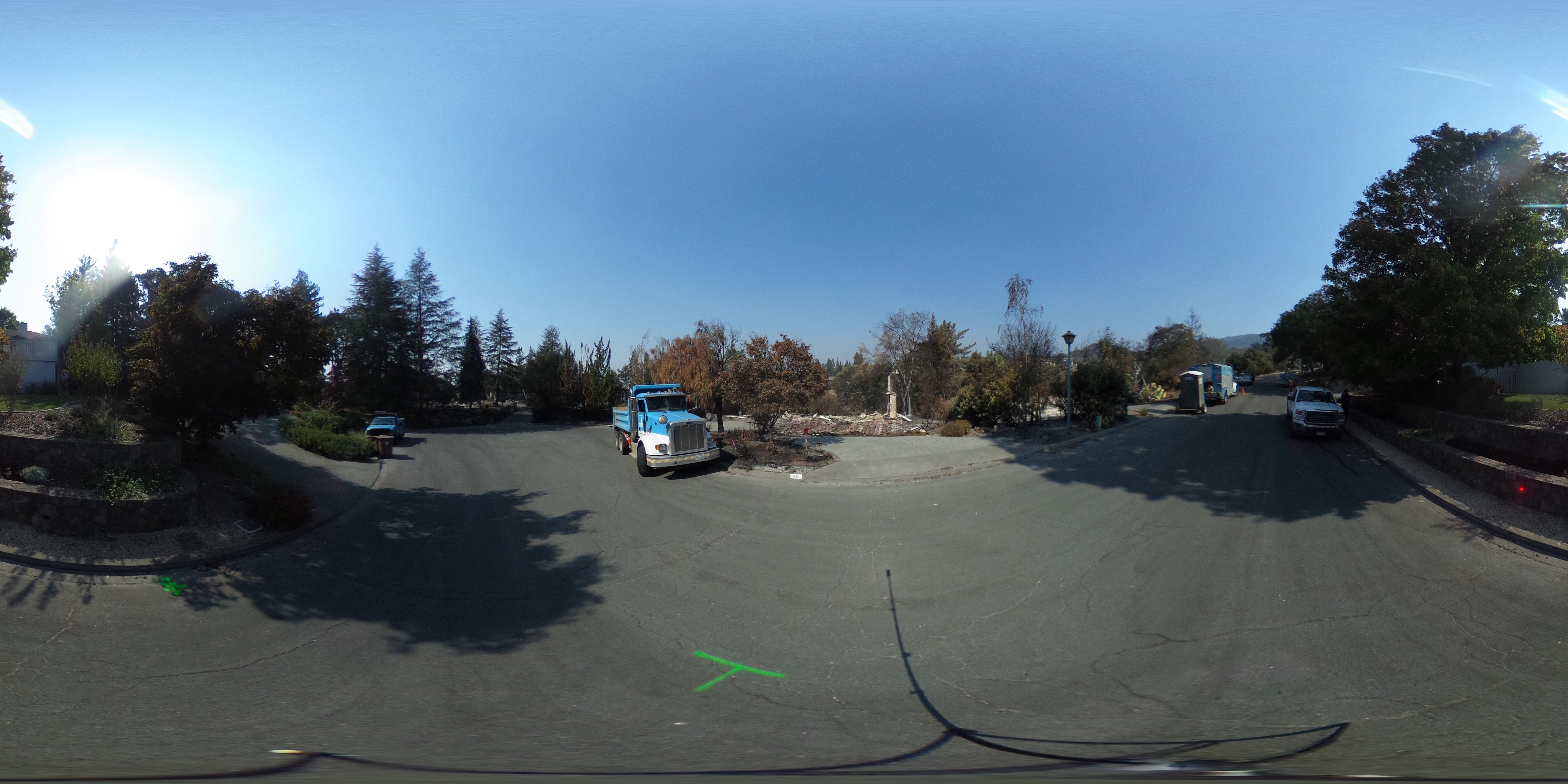
360 PHOTOS: Devastation caused by wildfires in Santa Rosa
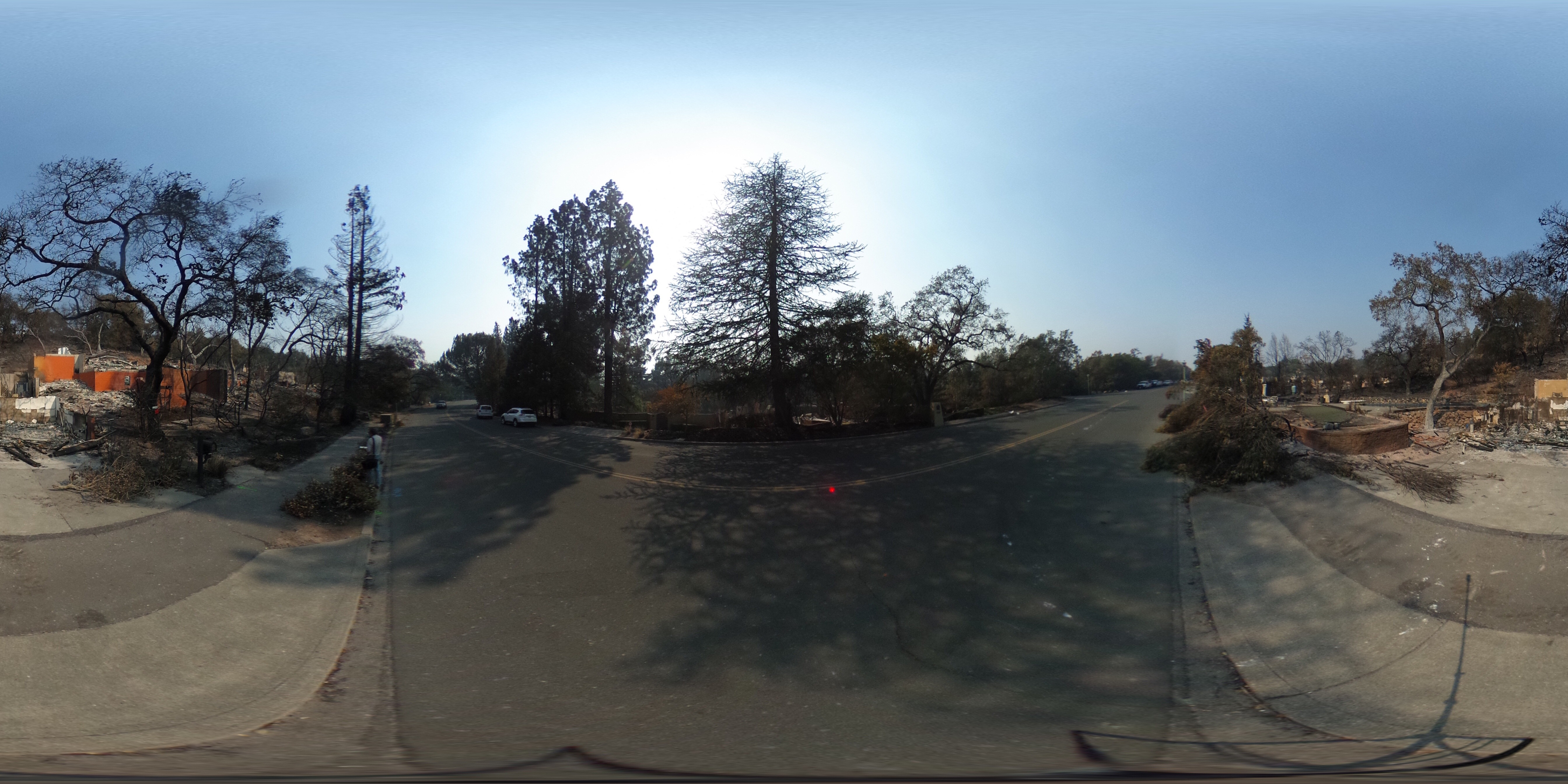
360 PHOTOS: Glen Ellen, Kenwood neighborhoods destroyed by wildfires
IMPORTANT: If you are in need of resources, shelter, or assistance please click here -- and we will continue to update this page for resources and complete updates on road closures, school closures, and evacuation orders.
Click here for full coverage on the North Bay fires.
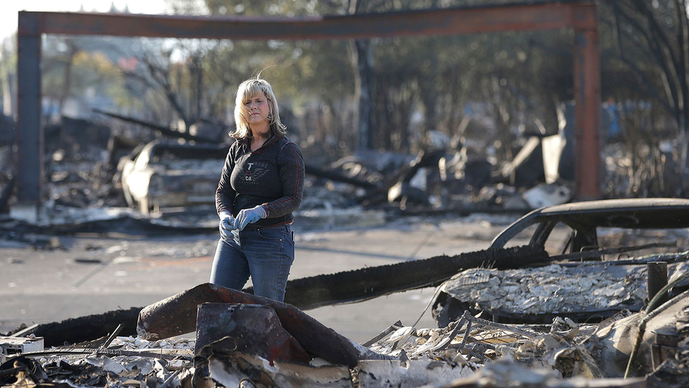
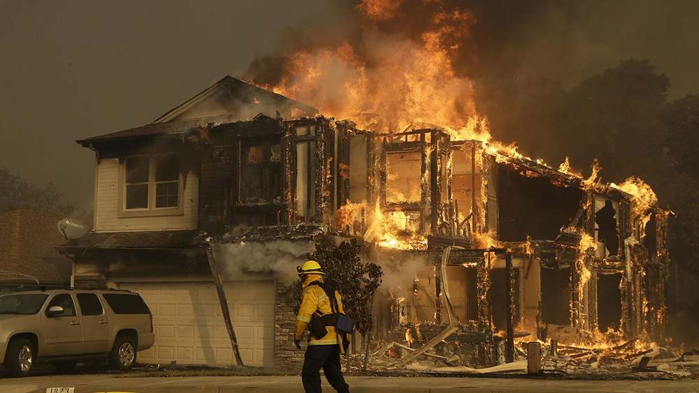
PHOTOS: Deadly fires burn in North Bay