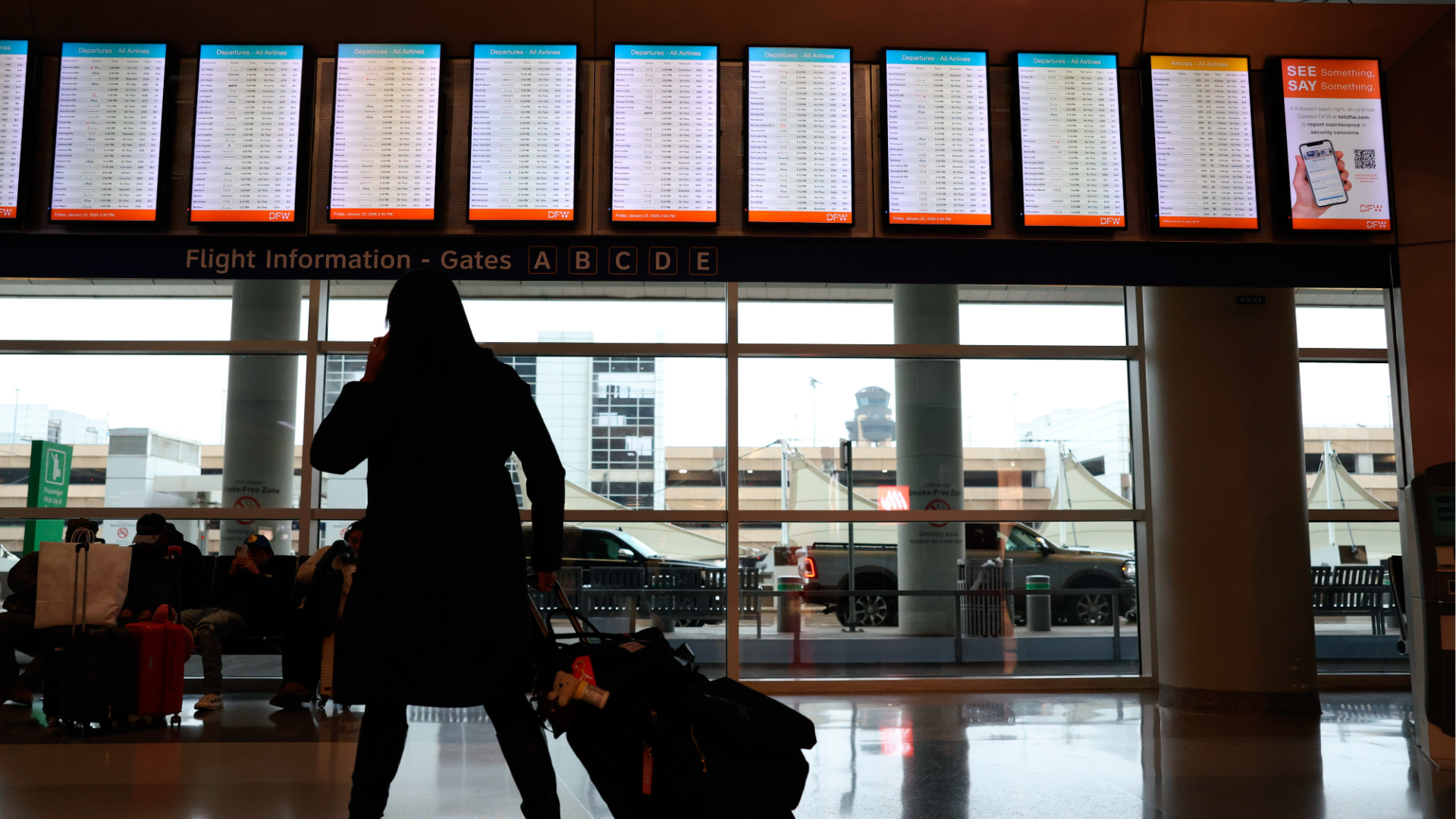
More than 2,300 flights canceled in US for Saturday ahead of storm


More than 2,300 flights within, into or out of the U.S. scheduled for Saturday have now been canceled ahead of the storm, with Dallas' two airports hit the hardest.
The storm begins Friday afternoon with snow and ice in New Mexico and the Texas panhandle. By the evening, Dallas will see a wintry mix and Oklahoma City will see some snow.
Saturday is the most significant day for dangerous icing and heavy snow for the South.
On Saturday morning, the snow and ice will be stretching from Texas to Arkansas to Tennessee.
By Saturday afternoon, snow will be falling from St. Louis, to Indianapolis, to Cincinnati, to Charleston, West Virginia.
By Saturday evening, the snow and ice will cover a massive part of the country, stretching from New Mexico to the Carolinas.
Further south, a wintry mix or freezing rain will be hitting Dallas, Shreveport, Louisiana, Memphis, Tennessee, and Raleigh, North Carolina.
The storm will move east early Sunday, bringing snow from Wichita, Kansas, to Cincinnati, to Washington, D.C., to Philadelphia.
Freezing rain will be likely by sunrise in Houston, Memphis, Atlanta and Raleigh.
By noon, the snow will reach New York City, while the snow in D.C. will warm to a wintry mix.
It's not yet clear which parts of the Interstate 95 corridor will get a wintry mix and which will get all snow on Sunday afternoon. But most of New England and the interior Northeast will see all snow on Sunday and early Monday.
A wide swath of plowable snow -- 3 to 6 inches -- is forecast from New Mexico through the Ohio Valley and up to Maine.
The heaviest snow is expected to be from the Texas panhandle to southern Missouri, as well as from the Ohio Valley to the Appalachian Mountains and New England.
In the Northeast, a large swath of the region could see over 1 foot of snow, with 6 to 12 inches forecast closer to the coast, from Virginia to southern New England coast. New York City's latest forecast shows 8 to 12 inches
Ice danger in the South
One of the biggest dangers from this storm is ice in the South.
The worse of the ice could hit Dallas; Little Rock, Arkansas; Memphis, Tennessee; Nashville, Tennessee; north of the Atlanta area; Charlotte, North Carolina; Raleigh, North Carolina; Roanoke, Virginia; and Washington, D.C.
Up to 1 inch of ice or even more is possible in some parts of Mississippi and western Tennessee, which could paralyze roads for days.
The ice could cause widespread power outages, leaving many without heat, and create very dangerous travel conditions. People should be very cautious about driving this weekend and through next week because the slippery conditions could last for days.
At least 16 states have declared a state of emergency as the storm nears: Alabama, Arkansas, Georgia, Kansas, Kentucky, Louisiana, Maryland, Mississippi, Missouri, New Jersey, New York, North Carolina, South Carolina, Tennessee, Texas and Virginia.
Washington, D.C., has also declared a state of emergency.