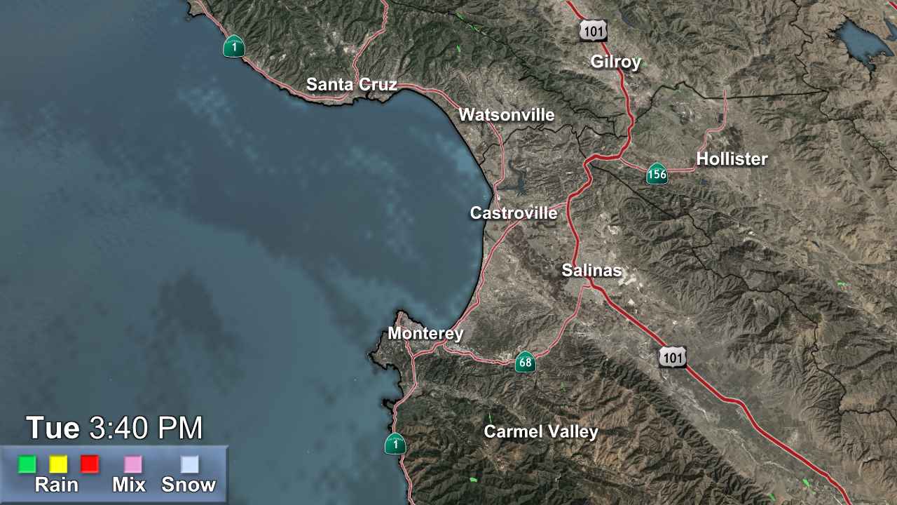
Monterey

- Winter Storm Watch
* WHAT...Heavy snow. Snow accumulations between 6 to 10 inches for communities surrounding Lake Tahoe and up to 7000 feet, and 12 to 28 inches above 7000 feet and for Sierra passes. Winds gusting as high as 90 mph along the Sierra crest and 20-35 mph for communities surrounding Lake Tahoe Saturday afternoon. * WHERE...Greater Lake Tahoe Area. * WHEN...From Saturday morning through Sunday evening. * IMPACTS...Travel could be very difficult to impossible, especially for the Saturday evening and Sunday morning commutes. Strong winds could cause damage to trees and power lines.More
- Winter Storm Watch
* WHAT...Heavy snow possible. Total snow accumulations 1 to 2 feet possible above 4500 feet, with up to 3 to 4 feet at the highest peaks. Light snowfall accumulations up to 2 to 4 inches as low as 4000 feet. Winds could gust as high as 45 mph. * WHERE...West Slope Northern Sierra Nevada and Western Plumas County/Lassen Park above 4500 feet. * WHEN...From Friday evening through Sunday evening. Heaviest snow expected late Saturday morning through midday Sunday. * IMPACTS...Travel could be very difficult to impossible. The hazardous conditions could impact the Friday evening commute and weekend mountain travel. * ADDITIONAL DETAILS...Snow levels remain above pass levels through Friday afternoon, dropping to around 6000-7000 ft late Friday-Saturday, then lowering to around 4000-4500 ft late Saturday into Sunday.More
- Winter Storm Watch
* WHAT...Heavy snow. Snow accumulations between 6 to 10 inches for communities surrounding Lake Tahoe and up to 7000 feet, and 12 to 28 inches above 7000 feet and for Sierra passes. Winds gusting as high as 90 mph along the Sierra crest and 20-35 mph for communities surrounding Lake Tahoe Saturday afternoon. * WHERE...Greater Lake Tahoe Area. * WHEN...From Saturday morning through Sunday evening. * IMPACTS...Travel could be very difficult to impossible, especially for the Saturday evening and Sunday morning commutes. Strong winds could cause damage to trees and power lines.More