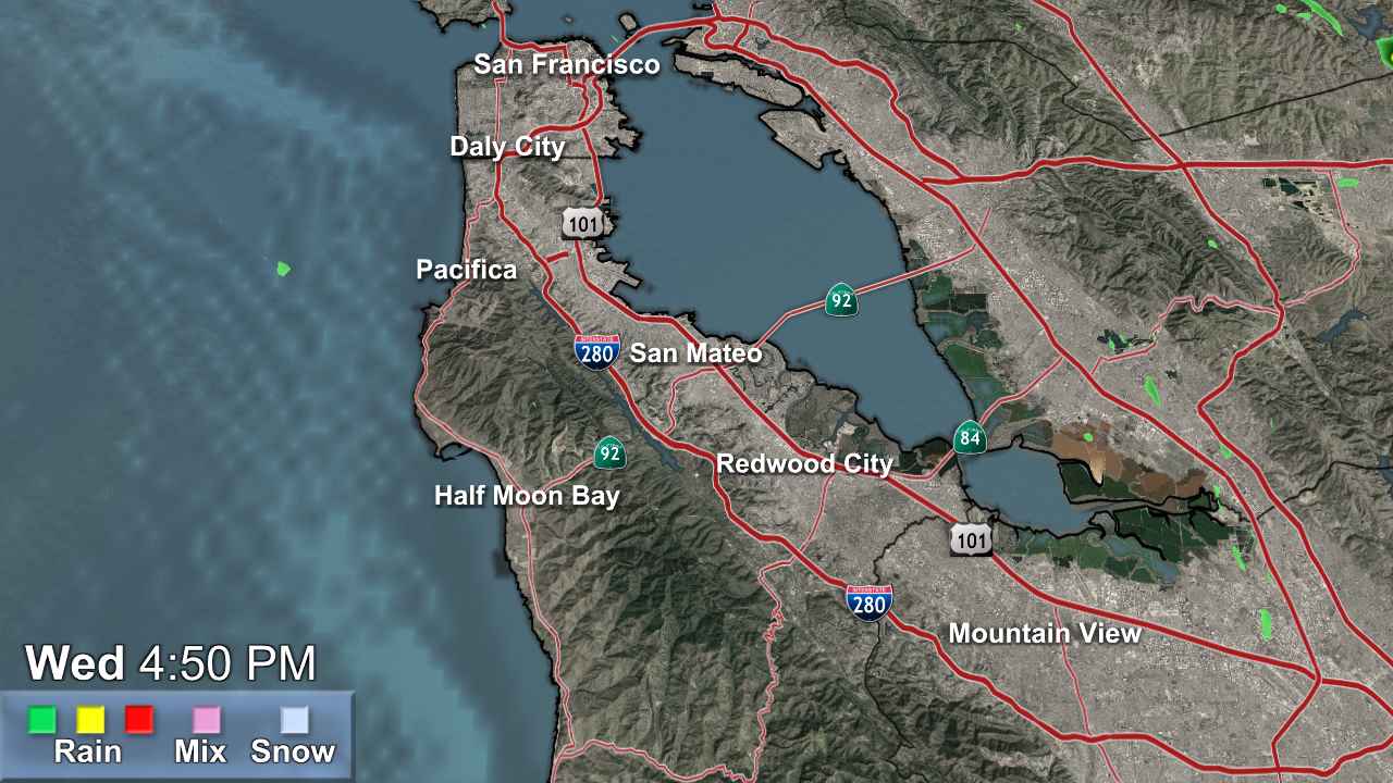
S.F. Peninsula

- Winter Storm Warning
* WHAT...Heavy snow expected. Total snow accumulations 1 to 2 feet above 4500 feet, with up to 3 to 4 feet at the highest peaks. Minor snowfall accumulations of 2 to 4 inches down to 4000 feet. Wind gusts as high as 50 mph. * WHERE...West Slope Northern Sierra Nevada and Western Plumas County/Lassen Park Counties. * WHEN...Until 11 PM PDT Sunday. * IMPACTS...Travel could be very difficult to impossible. The hazardous conditions could impact weekend mountain travel. * ADDITIONAL DETAILS...Snow levels lower to 6000-7000 feet today, then to around 4000-5000 ft Sunday. Heavy snowfall rates of 1-2 inch per hour, with the heaviest snowfall this afternoon through Sunday.More
- Winter Storm Warning
* WHAT...Heavy snow. Snow accumulations between 6 to 10 inches for communities surrounding Lake Tahoe and up to 7000 feet, and 12 to 28 inches above 7000 feet and for Sierra passes. Winds gusting as high as 90 mph along the Sierra crest and 20-35 mph for communities surrounding Lake Tahoe. * WHERE...Greater Lake Tahoe Area. * WHEN...From 2 PM Saturday to 11 PM PDT Sunday. * IMPACTS...Travel could be very difficult to impossible, especially for the Saturday evening and Sunday morning commutes. Strong winds could cause damage to trees and power lines.More