San Mateo Co. launches new radar system ahead of El Niño-fueled winter storms: Here's how it works
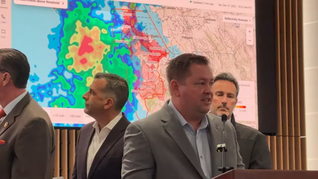


SAN MATEO COUNTY, Calif. (KGO) -- San Mateo County leaders are improving how weather information is collected and shared with the public as officials prepare for potentially severe winter storms fueled by El Niño conditions, king tides and climate change.
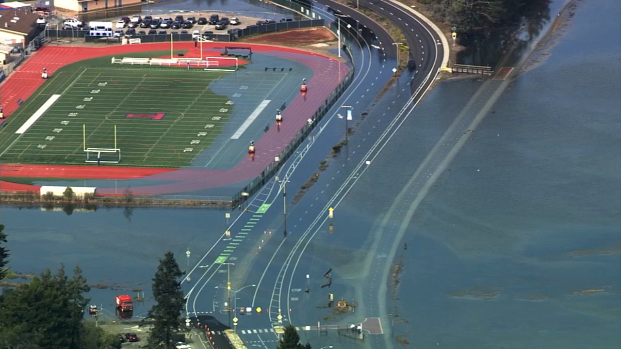
Officials and weather experts say flooding this winter could be more severe and widespread than recent events. During a recent high tide event, flooding inundated a San Mateo County park within minutes, highlighting the region's vulnerability to rising water.
Dr. F. Martin Ralph, director of the Center for Western Weather and Water Extremes at the Scripps Institution of Oceanography at UC San Diego, said warmer coastal waters can intensify storms.
"When these atmospheric rivers bring their energy and storms across that warm coastal water, that water adds more heat and moisture to the air, which then fuels heavier precipitation. We know that will happen this winter. What we don't know is how many of the storms are going to be atmospheric rivers," Ralph said.
MORE: Experts map potential Bay Area flood risks from El Niño: 'Things could be really, really bad'
To improve forecasting and emergency response, San Mateo County is deploying a new radar system developed by Western Weather and Water Extremes at the Scripps Institution of Oceanography. The system includes six new radars designed specifically for the region and will supplement information provided by the National Weather Service.
Ryan Reynolds, assistant director for the San Mateo County Department of Emergency Management, said the technology will help officials better detect atmospheric river systems.
"Most of these atmospheric river systems are very low -- within a few thousand feet of the surface. The big radars that the National Weather Service use tend to shoot over the top of those. So now we have ability to see them, before we didn't," Reynolds said.
MORE: El Niño Effect: How climate pattern could reshape California's winter
Top Stories

County officials say the additional weather data could provide up to an hour of advance notice, allowing emergency managers to send targeted alerts to communities facing the greatest risk. At the federal level, U.S. Rep. Kevin Mullin has introduced legislation aimed at improving safety alerts ahead of major storms.
"Not all cities will face the same threats. California is massive and even various communities in the Bay Area will be impacted differently. That is why it is essential to have localized information and the ability to communicate directly with those impacted," Mullin said.
County officials said they are proud of the new technology but stressed that residents should not rely on the system alone. Officials urged the community to continue taking steps to prepare for future storms before they arrive.